
01 — IMPORT
Open a spatial file
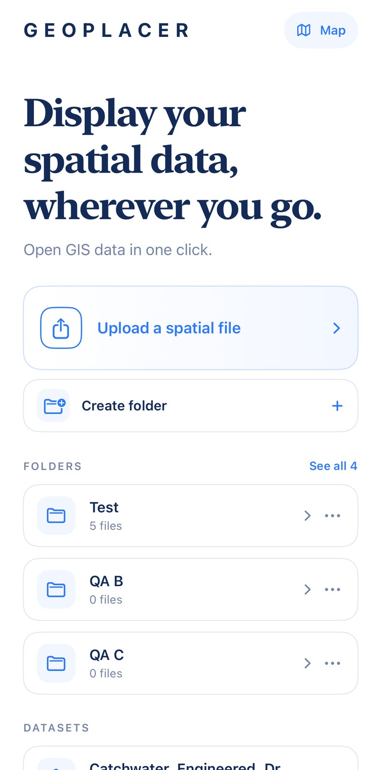
Start directly from GIS files already used in office or field workflows.
Lightweight field GIS viewer
Open GIS data in one click.
Geoplacer is a lightweight mobile GIS viewer for quickly opening and checking spatial data during field work, site visits, and everyday GIS workflows.
Core workflow
Start directly from GIS files already used in office or field workflows.
Use simple folders for projects, surveys, or site visits.
View layers and perform lightweight mobile GIS checks without desktop GIS complexity.
Formats and map
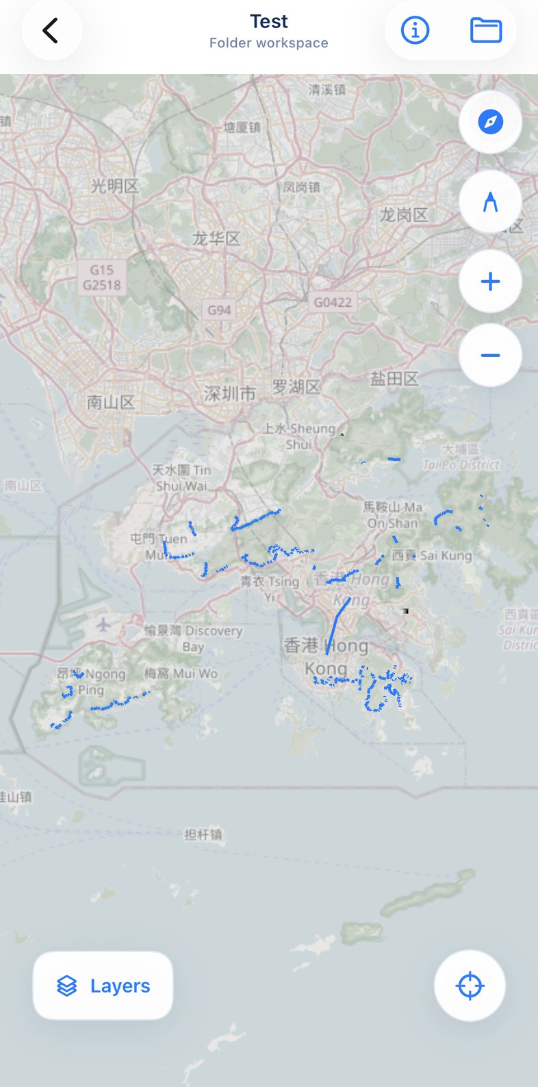
Open common GIS files on iPhone and inspect them on the map.
The map stays front and centre, with compact Layers, Locate, and Draw controls for quick checks in the field.
On your iPhone
Open files on the device you already carry, keep related work in folders, and check it on the map during site visits. The map uses a network connection for basemap tiles. Location is used only when you tap Locate.